
Irene on the way
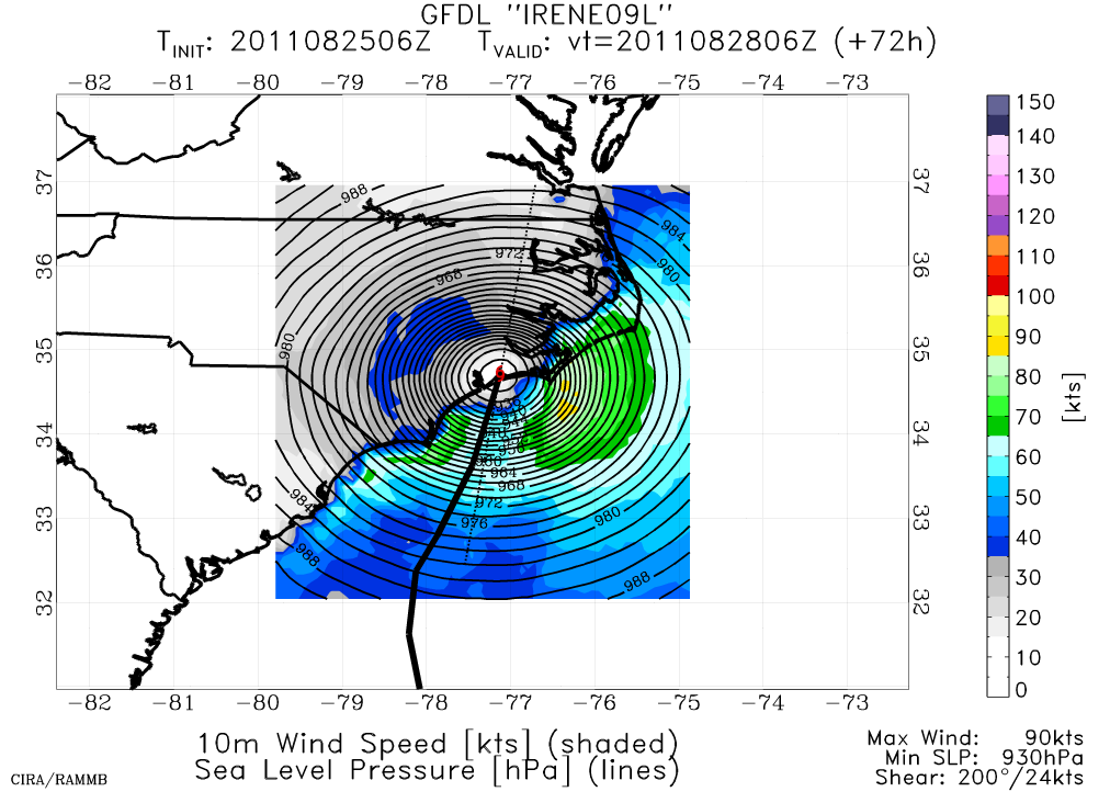
After shifting deterministic solutions the past few days, the suite of numerical weather prediction models have reasonably converged on a track for Irene that takes it over Eastern NC, the Delmarva, into New Jersey and then across Long Island and into New England. This track puts a large swath of the eastern U.S. under the impacts, from heavy rain (primarily) to strong wind and surge (right at the coast). Here in Annapolis we're very sensitive to which side of the Chesapeake Bay the center tracks, as a track to our west brings substantial water threats, but a track to our east shields us. Model consensus is to our east, making heavy rain and flash flooding our largest risk.
As for my parents and family who live in Eastern N.C., their risk is of both heavy rain and also wind - enough to knock down trees and cause power outages. The last hurricane to appreciably impact that area was Isabel in 2003.
Here are a few images I've grabbed from the web.


posted by Brad @ 12:52 PM
0 comments
![]()
0 Comments:
Post a Comment
<< Home