So just what is a white Christmas, anyway?
According to Wikipedia, a white Christmas "refers to a Christmas morning or Christmas Eve with snow on the ground." Others talk about snow actually falling on Christmas day. I'm pretty indifferent- either falling snow, or snow on the ground- both would count in my book! Since I'll be in Greenville on both Christmas Eve and Christmas day, this forecast will be KPGV-centric. Those who've been following me on FB and here have noticed a lot of back and forth with this snow forecast. Five days ago, the computer models were hinting at a major snowstorm for the entire east coast from SC north to Maine. Then about 3 days ago, the models started a 2-day trend of backing off the snow (both in warmer temps & less moisture) for all areas except down-east Maine. Then today the models have reversed again, predicting more snow both in accumulation and extent (snow as far west as Greensboro, NC).
We're about 30 hours out from the onset of precipitation- what can we expect? Based on a poor man's model consensus, I think the NWS forecast of 2-4" for Greenville is pretty accurate. The latest 18Z NAM forecast paints a much "wetter" picture for places west toward Raleigh... i.e., if it verified perfectly, Cary (where the Barretts will congregate on Sunday) would get 5" ending Sunday morning.
So here are the unknowns: atmospheric thermal structure (which usually has a margin of +/- 2 degrees F, not a problem unless you're talking about 30F vs 34F, which makes a big difference in terms of accumulating snows!) and moisture content (0.5" QPF vs 0.05" QPF, a pretty big difference that would give a range of 0.5"-5" of snow).
I'm going with the NWS here (always a good bet! www.weather.gov) and their 2-4" totals ending sunset Sunday. HPC has the area tasked in a low (10%) risk of 4" in the 24-hr period ending 7 pm Sunday (seems reasonable to me). See the attached graphics. In the images below, the shaded colors are 6-hr liquid-equivalent precipitation totals - so using a standard 10:1 snow:liquid ratio, 0.5" QPF = 5.0" snow. The dashed lines are thicknesses, and the general rule of thumb is that the "540 line" (the first blue dashed line) represents the rain-snow changeover boundary. The final graphic is the HPC snow probability.


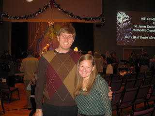
Merry Christmas! Here are a few other pics from Christmas Eve: me with my great-aunt and great-uncle, Barretts at St. James Church for the Christmas Eve service, and me with my friends Sara Davis and Amanda Wooten.


0 Comments:
Post a Comment
<< Home