Desierto norte de Chile

Tuesday, August 30, 2011

Some Irene statistics

Here are some maps of Irene rainfall (Maryland and the eastern US) and wind gusts (in N. Carolina and Maryland). The precipitation estimates I believe come primarily from radar, perhaps augmented with gauge data. Note the axis of heavy rain left-of-track, which is unusual for such a storm. Perhaps it interacted (un)favorably with an upper-level trough to produce such heavy rainfall. Several local soundings (Wallops Island, Dulles, Albany) showed strong warm air advection profiles before the arrival, probably enhancing the rainfall totals.


Water, water, nowhere

In contrast to the East Coast, which has had quite a wet summer (augmented substantially by Hurricane Irene), the Southern Plains can hardly buy a drop of water. Nearly all of Texas and Oklahoma are in exceptional drought. The city of Wichita Falls, TX (about 2 hrs drive northwest of Dallas) has only had 5.8" of rainfall this water year (which ends next month, 30 Sept), compared to the previous record-low rainfall of 14.47" (thanks, A. Culp, for pointing out that 14.47" is not the normal rainfall but instead the current [but likely to fall] record low rainfall).. That dry ground has got to be taking a toll on aquifers, not to mention cattle and people. Maybe the disturbance in the western Caribbean Sea this afternoon will work its way west and north without developing too much. The 12Z GFS takes it to the LA/TX border region in about 5 days, enough to give some drought relief to parts of the area.

Sunday, August 28, 2011

Rain, yes. Wind, not so much.

Hurricane Irene is quickly becomming extratropical over Canada. Impacts in Annapolis were mostly due to rainfall, although the 30-50 mph winds sure did a number on the electrical grid (tens of thousands of customers out of power in Annapolis, hundreds of thousands along the East Coast). Total rainfall ended up being 5.45" at KNAK, about in line with HPC estimates from Friday (and about 2-3" above what I thought we would receive). Below is a plot of hourly rainfall, cumulative rainfall, and hourly wind gusts and direction from KNAK. Also included are IR images from landfall in NC and closest approach to Annapolis.


Friday, August 26, 2011

A rainmaker, or no?

**Edit: the 00Z HPC forecast still has us at 5" of rain for the event. My parents in N. Carolina are predicted to receive over 9" of rain. My only thought is too bad this isn't happening in Texas, where a generous soaking of rain would be very welcome.**

This morning's HPC forecast has us receiving between 5-6" of rain from Irene, while the 06Z GFS predicts about 3" of rain. Will be interesting to see what verifies - and of course, whatever falls is heavily dependant on the track that Irene takes. This morning's track forecasts have shifted slightly east from yesterday, keeping Irene and its strongest winds offshore of Maryland. At its closest approach, Irene gets to within 170 km (106 miles) of us. Will be interesting to see what comes up tomorrow - and whether we lose power for any appreciable length of time.


Thursday, August 25, 2011

Irene on the way

After shifting deterministic solutions the past few days, the suite of numerical weather prediction models have reasonably converged on a track for Irene that takes it over Eastern NC, the Delmarva, into New Jersey and then across Long Island and into New England. This track puts a large swath of the eastern U.S. under the impacts, from heavy rain (primarily) to strong wind and surge (right at the coast). Here in Annapolis we're very sensitive to which side of the Chesapeake Bay the center tracks, as a track to our west brings substantial water threats, but a track to our east shields us. Model consensus is to our east, making heavy rain and flash flooding our largest risk.

As for my parents and family who live in Eastern N.C., their risk is of both heavy rain and also wind - enough to knock down trees and cause power outages. The last hurricane to appreciably impact that area was Isabel in 2003.

Here are a few images I've grabbed from the web.


Saturday, August 20, 2011

A change of venue, just for one summer afternoon

Back in July our small group decided to head over to Ulisys's house for a change of venue - and he offered his swimming pool, apple trees, and best of all his grill for a bar-b-que. Here are a few photos.


Pinol - what a food!

A few weeks ago, Jose, Factor, and Casi came over with a big bag of something that had just arrived from Guatemala. They were all excited to cook this special dish for me - something very Guatemalan. It's like a thick soup, with beef consume, tomatoes, cilantro, salt, pepper, onions, and chicken thighs. They called it "Pinol" - which is also the name of the main ingredient - kind of like a coarsely-ground corn meal. Throw everything together, with some water to make it soupy, and cook on the stovetop for about 20-30 mins. It turned out delicious! Here are two photos.


Hurricane #1 of 2011 in the NATL?

A disturbance east-northeast of the middle Leeward Islands is showing pretty good organization this afternoon, and will likely become Tropical Storm Irene before the end of the weekend. What remains to be seen, however, is if it will strengthen into the season's first hurricane. The statisticians have noted that with the formation, and now landfall and weakening, of Harvey, the North Atlantic has had 8 named tropical systems now form and dissipate without passing through the hurricane stage - a record for the basin. We'll see what soon-to-be Irene does. Interesting, two of this morning's GFS ensemble members take the circulation center directly over Annapolis in about 9 days (that would be Mon 29 Aug). We'll see how that goes, too!

The start of something new

In two days, USNA will start yet another fall semester. I always like the fall semester, especially its first days, as it feels full of energy, of optimism, as if it were the start of something new. And for the students, it is new, another semester of new discoveries, new professors, new classmates, new schedules. I think that newness is what makes me like it. As for me, I've been dreaming of that Day 1 lecture since mid-May, but still have quite a bit of work for days 2-31! I'm teaching this course now for the 3rd time, and always have things I want to change and improve. Here's to a great, new semester!

To Niagara we went ... and by Toronto we came

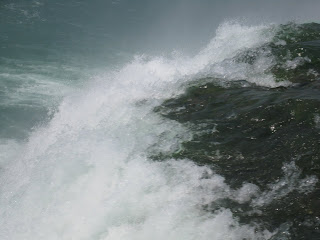
Over July 4th this year, Charles, Kim, and I took a nice road trip up north together. None of us had been to Niagara Falls or Toronto, so we piled in the car and headed up there. CG & Kim arrived here late Friday night 01 July, spent the night here, and we headed out at 5:45 a.m. on Saturday. We passed by Williamsport, PA, and took some photos of the Little League World Series stadium. Later that morning we drove through upstate NY (who knew there was that much agriculture & farming in an area that is a- in New York, and b- gets darn cold & snowy in winter?). We had packed a lunch, and arrived at the parking area for Niagara around 12:45, just as they were closing it b/c it was full. We ate lunch in the car, then walked around the falls area, snapping photos and being touristy (and dodging the huge crowds that roamed the park). Parking cost us $10 (I think), but at least it was there! After viewing the US side of the river for about 2 hrs, we crossed over to the Canadian side, where parking was much more scarce. I ended up dropping CG & Kim off at one end of the street and doubling back to meet them after they'd snapped a few pics of the Canadian side of the river.

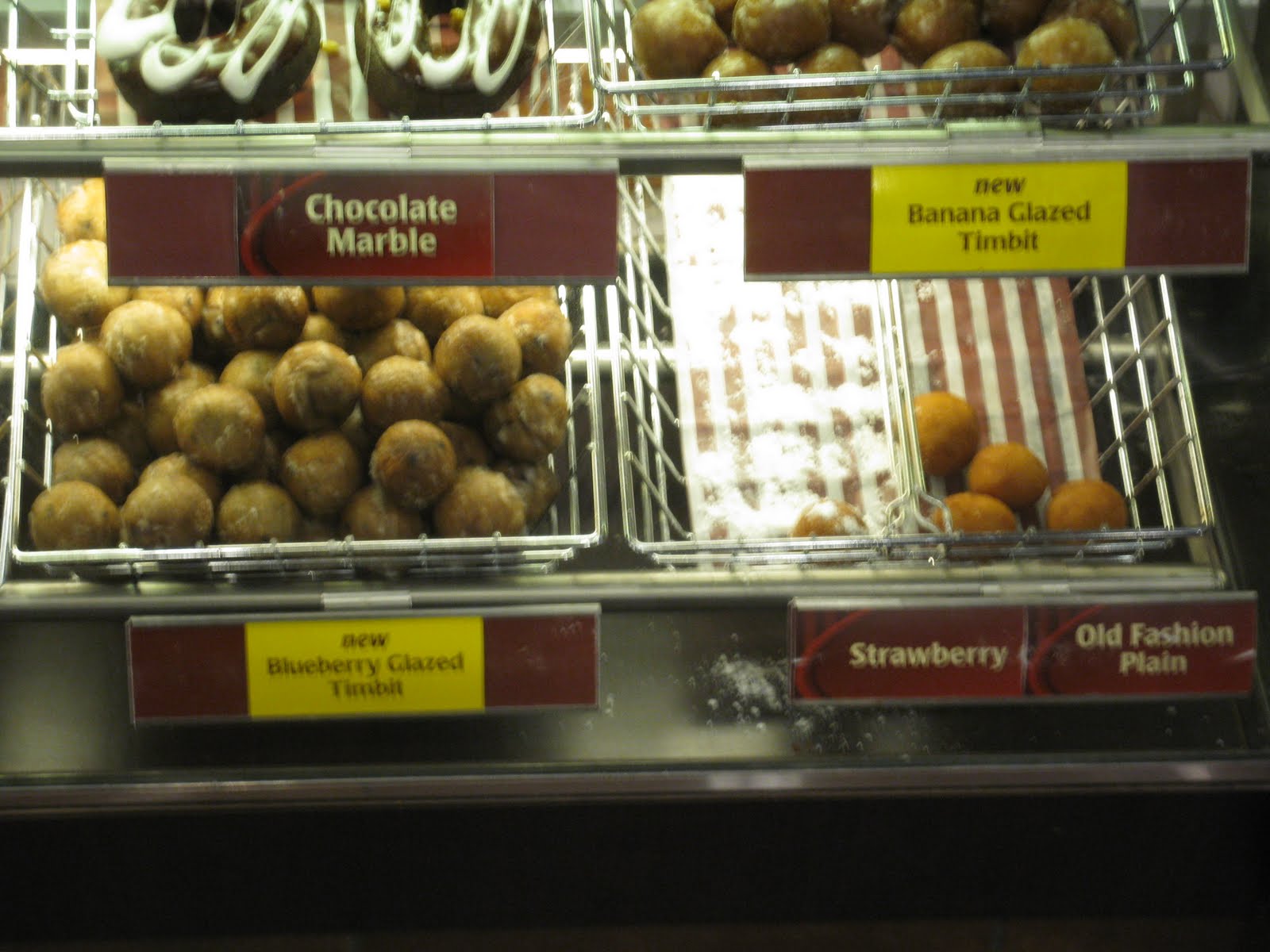
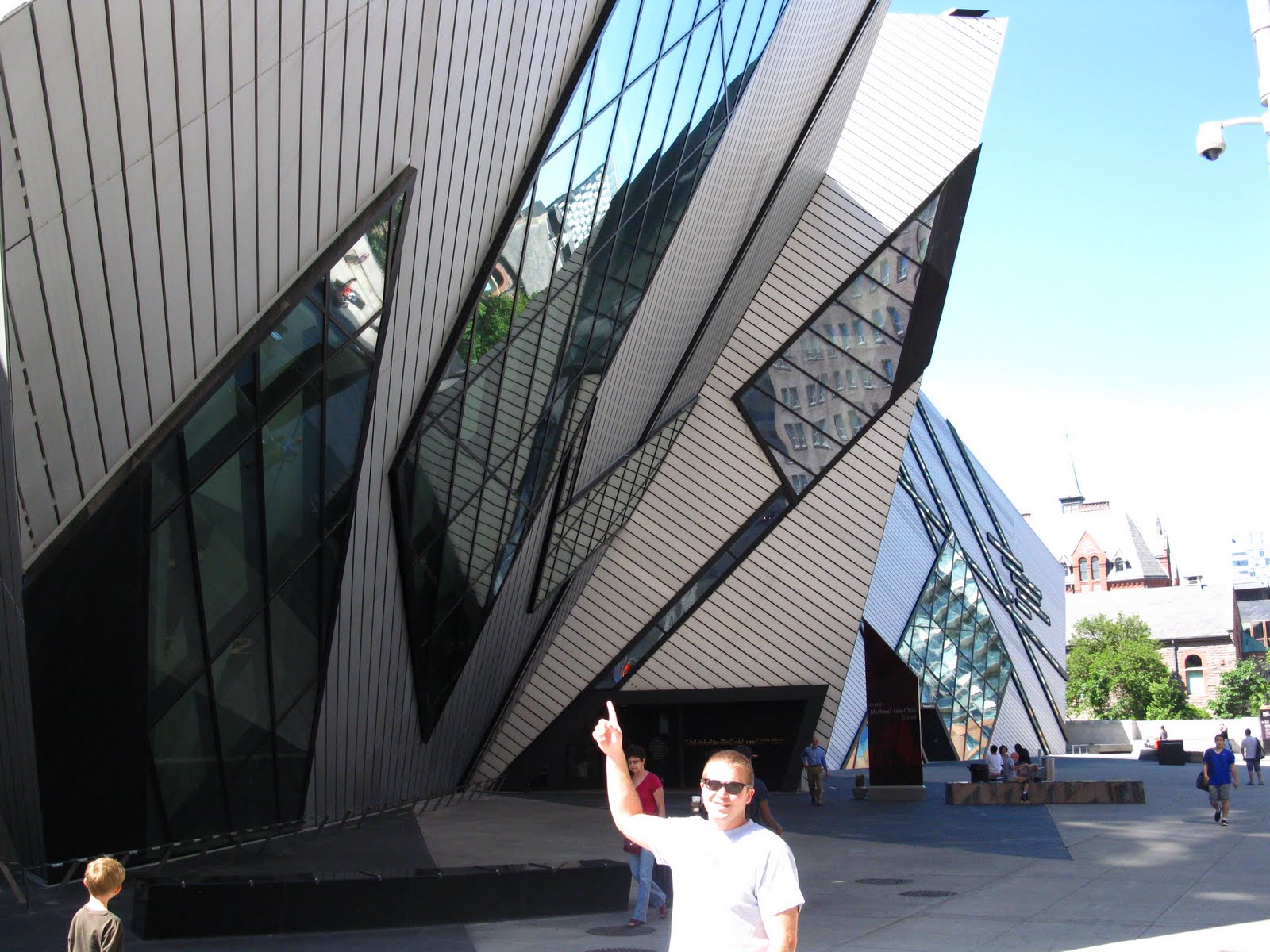
Our curiousity of natural wonders satisfied, we made our way onward to Toronto. After a small detour owing to the supposed closure of the main freeway, the Queen Elizabeth Way (there were only 5 signs leading up to it - so we didn't chance it), we arrived at our hostel, the All Days Hostel. Turns out it's in a great location for exploring downtown Toronto by foot - just a few minutes' walk to the main street, and about 40 mins up from the water. We enjoyed our visit, eating some great local foods & just wandering around the town (I found a Chilean tienda that sold empanadas and humitas!). Sunday morning, we walked around in the morning, including a visit to a church near the hostel, then headed back toward the US. We went east along the northern shore of Lake Ontario and crossed the St. Lawrence River just north of Watertown, NY, at the northern terminus of I-81.

It was a great - but short - vacation, with lots of neat sights, sounds, tastes, and smells! Here is a selection of pictures.


    Newer›  ‹Older